Beautiful Eufaula Alabama
http://www.eufaulaalabama.com/
Eufaula Historic Places
Many of Eufaula's historic buildings are listed on the National Register of Historic Places.[5] Other historic buildings include the Eufaula First United Methodist Church and the First Baptist Church of Eufaula. The Seth Lore and Irwinton Historic District, with 667 contributing properties, is the second-largest
historic district in Alabama.
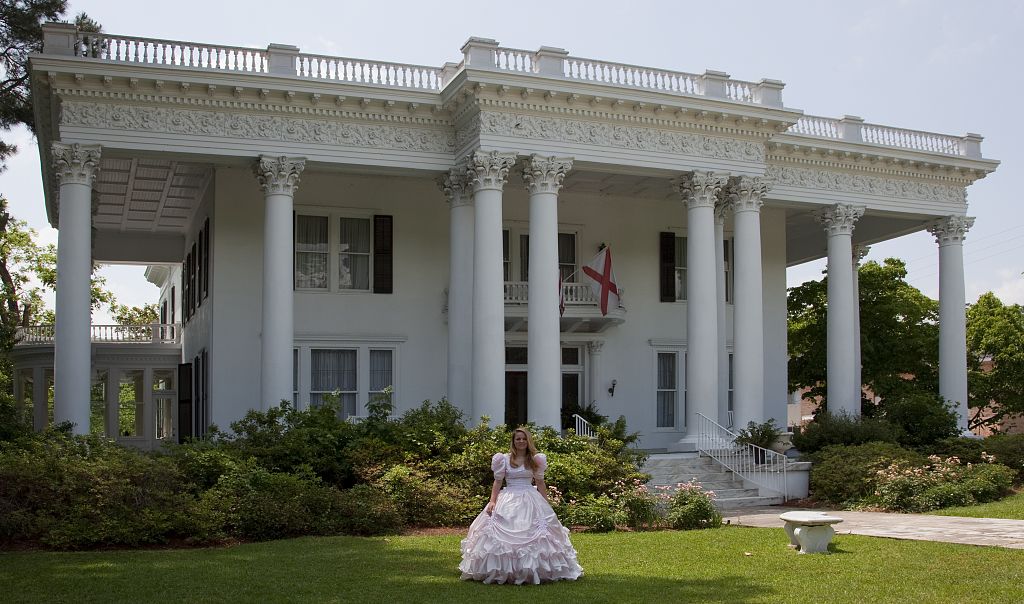
The Shorter Mansion was built in 1884 by Eli Shorter and is recognized by the National Trust for Historic Preservation. It serves as a museum honoring the six Alabama governors from Barbour County, as well as Thomas Moorer, a former Chairman of the Joint Chiefs of Staff. Fendall Hall, built from 1856 to 1860, is an Italianate-style historic house museum that is owned and operated by the Alabama Historical Commission
historic district in Alabama.
The Shorter Mansion was built in 1884 by Eli Shorter and is recognized by the National Trust for Historic Preservation. It serves as a museum honoring the six Alabama governors from Barbour County, as well as Thomas Moorer, a former Chairman of the Joint Chiefs of Staff. Fendall Hall, built from 1856 to 1860, is an Italianate-style historic house museum that is owned and operated by the Alabama Historical Commission
Eufaula - Bass Fishing Capital of the World
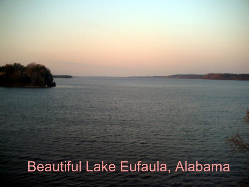
Walter F. George Lake (Lake Eufaula) is a 45,000 acre lake located on the Chattahoocee River between the states of Alabama and Georgia. This area is rich in history with many nearby historic sites and towns. The lake is nationally known for it's bass and crappie fishing. The lock, located at Ft. Gaines, Georgia, has the second highest drop east of the Mississippi River. Fishing and water recreation opportunities abound. Eufaula National Wildlife Refuge is located on the northern end of the lake offering excellent bird viewing all year. There are both state and Corps of Engineers operated campgrounds and day use parks featuring picnic areas, beaches and boat ramps, among other opportunities.
Lake Eufaula was formed with the construction of the
Walter F. George Dam in 1963. The U.S. Army Corps of Engineers (CE) built the dam to provide flood control, produce hydroelectric power, create a navigable shipping channel and offer recreational opportunities.
The COE manages the lake and its shoreline. A system of buoys and daymarks is in place throughout the lake to mark the main navigable channel. The COE has placed numerous fish attractors in the lake. The attractors provide artificial
habitate for fish and are clearly marked with buoys.
Lake Profile
Size and Depth - 45,180 acres with a maximum depth of 96 feet at normal pool elevation of 190 feet above mean sea
level. Water Source - An impoundment of the Chattahoochee River. Other inflows are provided by Cowikee, Grass, Chewalla, Barbour, White Oak and Pataula creeks.
Shoreline - 640 miles of shoreline, is managed by U.S. Army Corps of Engineers. A large part is developed as municipalities and private residences.
Bottom - Primarily clay with areas of sand and rock. Prior to inundation, trees were cut between 170 and 190 feet msl. Most trees were cut to a level of 180 feet msl and some areas were left standing.
Water - The lake is fertile with water color ranging from reddish to dark green. Visible clarity varies with run-off and amount of water flow through the lake but it is generally from 18 inches to 4 feet.
Cover
- Aquatic vegetation is limited throughout the lake, but areas of hydrilla exist. The backs of coves and creeks contain bulrush, cattails, maidencane and lillypads.
